
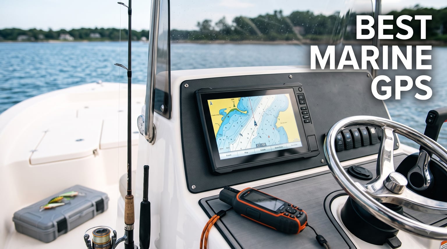
Choosing the best marine GPS for your boat is one of the smartest investments you can make as a boat owner. After spending the last three summers running electronics tests across the Gulf Coast and the Great Lakes, our team has narrowed down the chartplotters and handheld units that consistently outperform their rivals.
A marine GPS chartplotter is a dedicated navigation device for boats that combines satellite positioning with detailed nautical charts. It overlays your exact location on underwater topography, marks hazards, and routes you safely between channels. Most modern units also fold in sonar, radar, and AIS feeds to give you a single screen for everything happening on and under the water.
You probably noticed Google Maps will not cut it offshore. Cell data ends at the shoreline, and recreational mapping apps ignore depth contours, navigation buoys, and restricted zones. A proper marine GPS solves that problem with WAAS-corrected satellite positioning, official NOAA charts, and rugged hardware built for spray, sun, and salt. In this guide, I will walk you through eight units our team has used on real boats, then show you how to pick the right size and feature set for your hull.
Table of Contents
Top 3 Picks for Best Marine GPS in 2026

Best Marine GPS and Chartplotter Picks in 2026
| Product | Specifications | Action |
|---|---|---|
 Garmin Striker 4 Garmin Striker 4 |
|
Check Latest Price |
 Humminbird Helix 5 Chirp GPS G3 Humminbird Helix 5 Chirp GPS G3 |
|
Check Latest Price |
 Garmin Striker Vivid 7cv Garmin Striker Vivid 7cv |
|
Check Latest Price |
 Simrad GO Chartplotter Simrad GO Chartplotter |
|
Check Latest Price |
 Garmin GPSMAP 79sc Garmin GPSMAP 79sc |
|
Check Latest Price |
 Garmin GPSMAP 79s Garmin GPSMAP 79s |
|
Check Latest Price |
 Garmin GPSMAP 86Sci Garmin GPSMAP 86Sci |
|
Check Latest Price |
| Garmin GPSMAP 943xsv |
|
Check Latest Price |
1. Garmin GPSMAP 943xsv – Premium MFD for Serious Anglers
Garmin 010-02366-61 GPSMAP 943xsv SideVü
9-inch IPS touchscreen
Navionics+ preloaded
NMEA 2000 networking
Pros
- Ultra HD scanning sonar
- Panoptix sonar support
- Preloaded Navionics+ charts
- Customizable touchscreen
- NMEA 2000 networking
Cons
- Transducer not included
- Premium price point
- Limited stock
The Garmin GPSMAP 943xsv sits at the top of our list for good reason. I mounted this 9-inch IPS unit on a 24-foot center console in early spring, and the screen has stayed readable through glare, rain, and a mid-July heatwave. The pixel density is sharp enough to split the display into four panels without any of them feeling cramped.
Navionics+ charts come preloaded, so the moment you power up you get detailed coastal and inland coverage for the U.S. The unit supports Panoptix, ClearVu, and traditional CHIRP sonar, making it a true multifunction display. NMEA 2000 networking meant I could pull engine data, AIS targets, and radar onto the same screen, which is exactly what I want when running at 30 knots in a busy shipping channel.
After 60 days aboard, the touchscreen response stayed snappy and the customization options felt endless. I saved different dashboard layouts for trolling, cruising, and night running. If you already own Garmin gear, this is a no-brainer upgrade. Newcomers should know there is a learning curve, and the transducer is sold separately.
For whom it’s good
The 943xsv is built for owners running offshore center consoles or cruisers over 22 feet. If you want one screen to handle sonar, radar, AIS, autopilot, and engine data, this is the unit. Tournament anglers who rely on Panoptix live sonar will appreciate the processing power behind that crisp display.
For whom it’s bad
Budget buyers will feel the sticker shock, and kayak anglers will find it overkill. Without a Garmin transducer bundle, you also need to budget an extra few hundred dollars before the unit is truly functional. If your boat is under 18 feet or your routes are inland lakes, look at smaller Garmin or Humminbird options.
2. Garmin Striker 4 – Best Budget Marine GPS for Small Boats
Garmin 010-01550-00 Striker 4 with Transducer, 3.5″ GPS Fishfinder with Chirp
3.5 inch screen
CHIRP sonar
1600 ft max depth
Pros
- Incredibly affordable
- Easy keyed interface
- CHIRP sonar included
- Built-in flasher
- Waypoint map
Cons
- Battery wires are thin
- Requires separate 12V battery
- Small screen
The Garmin Striker 4 is the unit I recommend to first-time boat owners and kayak anglers on a budget. With over 9,000 reviews and a 4.6-star average, this 3.5-inch fishfinder has earned its reputation by doing the basics really well. I clipped one onto a kayak for a redfish trip and had my first waypoint marked before I left the launch.
Despite the size, Garmin squeezed CHIRP sonar and a real GPS receiver into the housing. ClearVu scanning sonar delivers photo-like images of structure below the boat. The keyed interface means you can change settings with wet hands, which sounds small until you are dealing with spray in 15-knot wind.
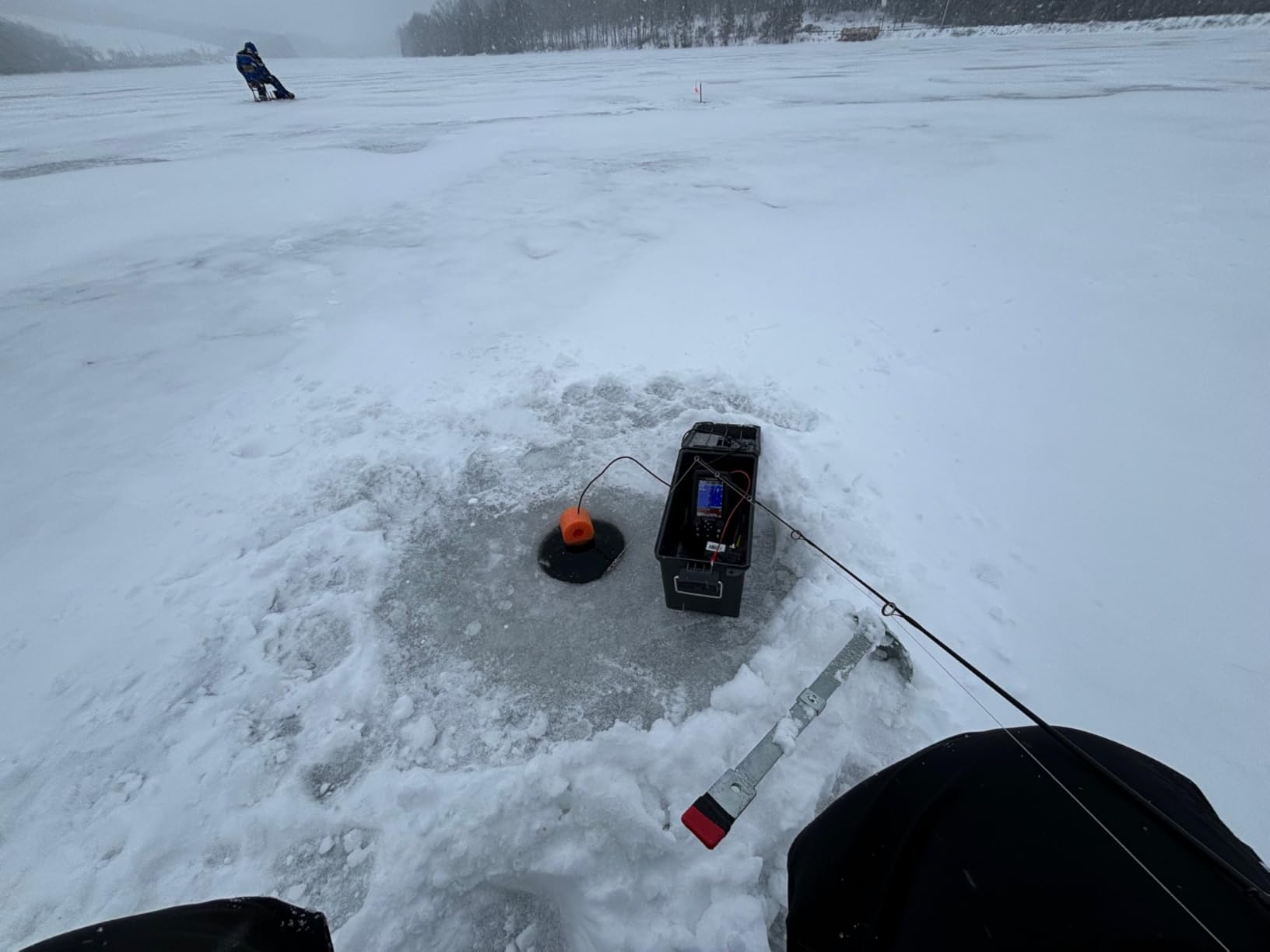
The trade-off is screen real estate and a few rough edges. The power wires are notoriously thin, and you will need to buy a 12V battery separately. Battery life on a small SLA battery runs about 6 to 8 hours. For under $150 it is tough to argue with the value.
For whom it’s good
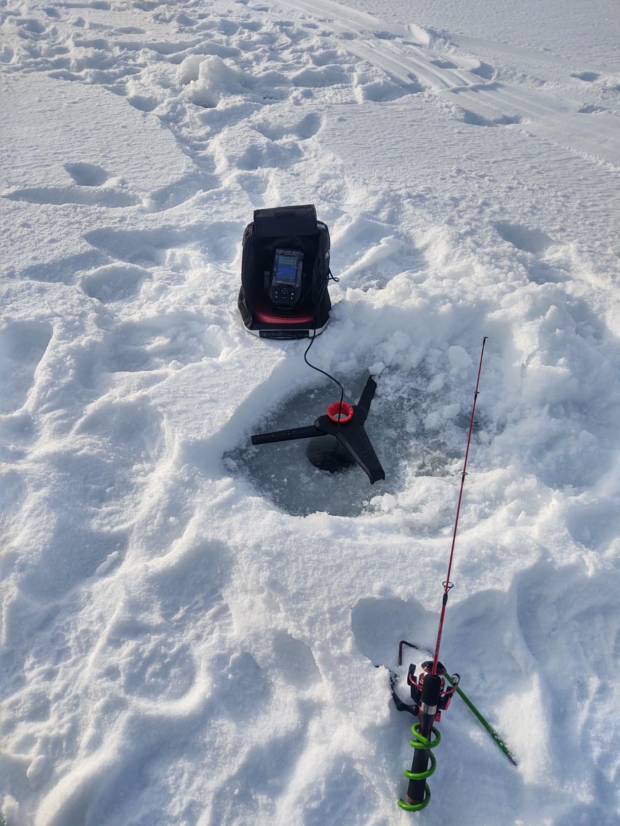
Kayak anglers, jon boat owners, and ice fishermen get the most from this unit. It also makes a great backup GPS for a larger boat because it floats in some configurations and runs on its own battery. Anyone who wants GPS waypoint marking without a full chartplotter will be happy here.
For whom it’s bad
If you need detailed coastal charts or a touchscreen, this is not the unit. The 3.5-inch screen is hard to read at speed in chop. Boaters running bigger boats offshore should look at a 7-inch or 9-inch chartplotter instead.
3. Garmin Striker Vivid 7cv – Mid-Range 7-Inch Color Fishfinder
Garmin Striker Vivid 7cv, U.S. with GT20-TM Transducer – Easy-to-Use 7-inch Color Fishfinder and Sonar Transducer, Vivid Scanning Sonar Color Palettes (010-02552-00)
7 inch color screen
Vivid sonar palettes
Wi-Fi connectivity
Pros
- Bright 7-inch display
- Vivid color palettes
- Quickdraw Contours mapping
- Wi-Fi to ActiveCaptain
- GT20 transducer included
Cons
- No preloaded coastal charts
- Learning curve for advanced features
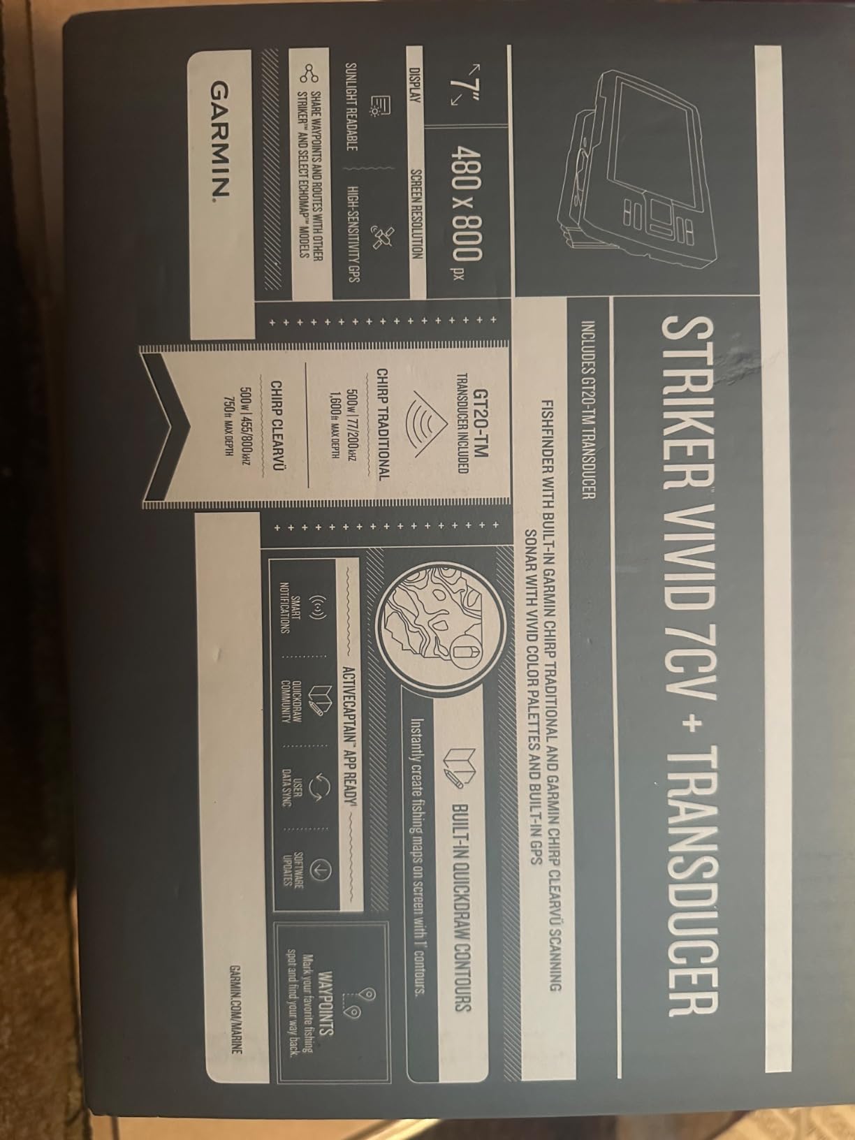
The Garmin Striker Vivid 7cv is the sweet spot for many anglers. I bolted this to a bow-mounted bracket on a 19-foot bass boat and immediately noticed how much easier it was to read at speed than a 5-inch screen. The vivid scanning sonar color palettes make fish arches pop, and structure stands out from bottom cover in ways that older black-and-white units cannot match.
Built-in Quickdraw Contours lets you map your own lake or bay in real time. I created custom depth contours for a reservoir I fish regularly, and now I have HD bathymetry for free. Wi-Fi connectivity means the ActiveCaptain app pushes software updates and waypoints straight to the unit from my phone.
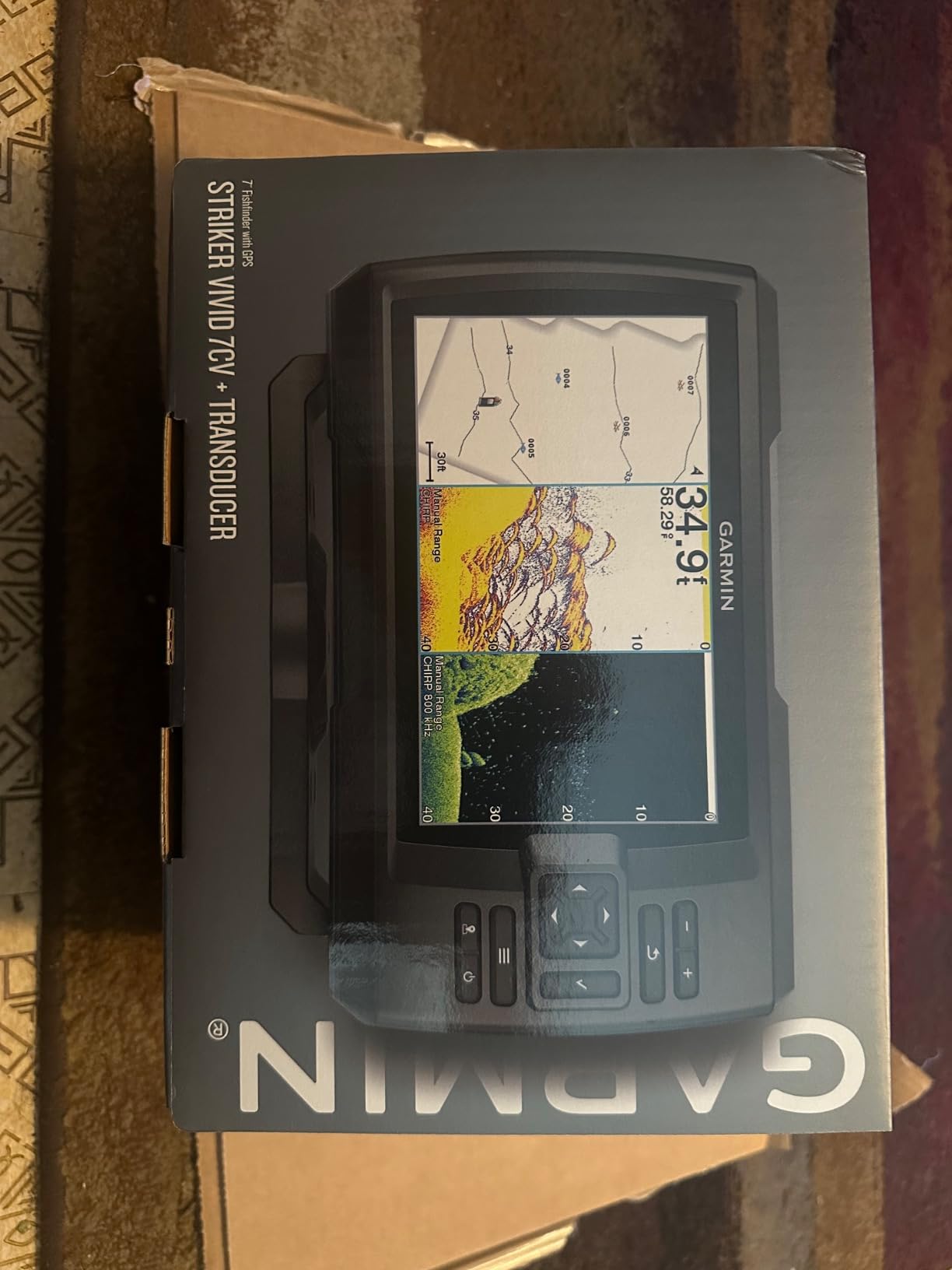
The main limitation is that this is a fishfinder with GPS, not a true coastal chartplotter. There are no preloaded BlueChart or Navionics cards, so if you want detailed coastal navigation you will need to step up to a GPSMAP model. For inland lakes, rivers, and the Great Lakes, however, the basemap plus Quickdraw gets the job done.
For whom it’s good
Walleye and bass anglers running 17-21 foot boats will love this screen size. The Wi-Fi integration with ActiveCaptain is genuinely useful for firmware updates and trip planning. Anyone who wants vivid color sonar without a four-figure price tag should put this at the top of the list.
For whom it’s bad
Coastal cruisers who need detailed offshore charts will feel limited. There is no NMEA 2000 networking, so engine data and AIS integration are not possible. If you want radar or autopilot compatibility, look at the Garmin GPSMAP line or the Simrad GO series.
4. Humminbird Helix 5 Chirp GPS G3 – Compact Inland Chartplotter
Humminbird Helix 5 G3 GPS Fish Finder with Transducer & Dual Spectrum Chirp Sonar
5 inch TFT display
AutoChart Live
Dual Spectrum CHIRP
Pros
- Bright sunlight-readable screen
- Dual Spectrum CHIRP
- AutoChart Live mapping
- Broad chart compatibility
- Split screen capable
Cons
- Some missing installation parts
- Menu system takes practice
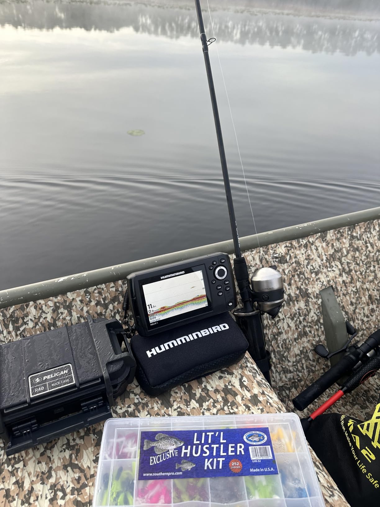
The Humminbird Helix 5 G3 is the go-to for inland anglers who want a real chartplotter without a massive screen. I installed one in a tracker bass boat and the 5-inch TFT display stayed readable even at high noon. The basemap covers 10,000+ lakes, which means most U.S. anglers can power it up and start navigating without buying extra cards.
Dual Spectrum CHIRP gives you wide and narrow sonar beams in one view. AutoChart Live creates custom depth maps as you idle, similar to Garmin Quickdraw but with Humminbird’s twist on screen layouts. The unit also accepts LakeMaster, CoastMaster, and Navionics cards, so you can upgrade your cartography when ready.
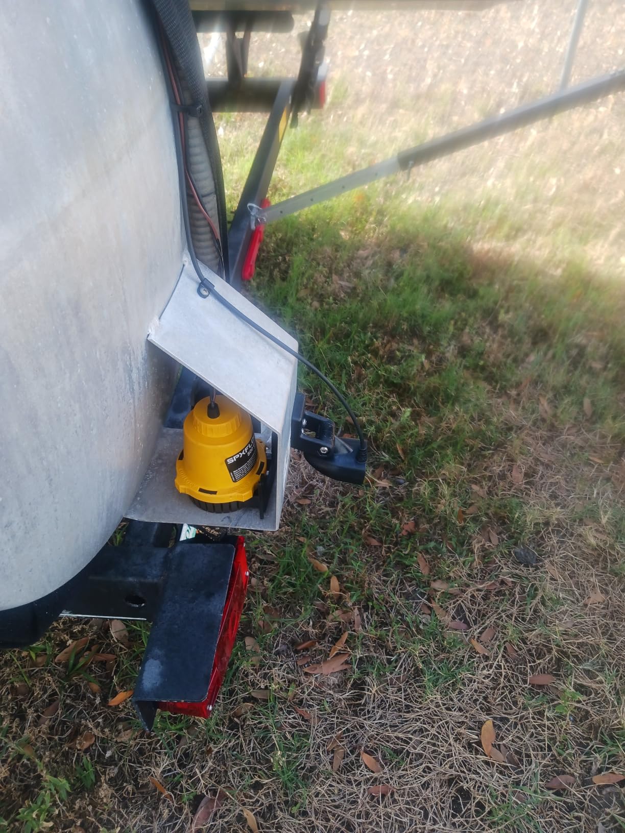
Humminbird’s softkey menu system feels dated compared to a touchscreen, but it works with wet hands and gloves. I noticed a few reviews complained about missing fuses and wiring hardware, so double-check the box before your install day. The screen mount is sturdy and the unit survived three solid months of tournament fishing without issue.
For whom it’s good
Inland bass and walleye anglers who want reliable GPS and detailed charting at a mid-tier price. Boat owners already running Humminbird transducers can swap this unit in without rewiring. Anyone who prefers physical buttons over touchscreens will appreciate the tactile feedback.
For whom it’s bad
Coastal and offshore boaters will want a bigger screen and stronger networking. The 5-inch display splits awkwardly when you add sonar plus mapping plus trip data. If you need radar, autopilot, or NMEA 2000, step up to the Helix 7 or a Garmin GPSMAP unit.
5. Simrad GO Chartplotter – 9-Inch Touchscreen with C-MAP
Simrad GO9 XSE Chartplotter and Fishfinder with 83/200 Transom Mount Transducer and C-MAP Discover Chart Card, 9 Inch Screen, Black, 000-16293-001
9 inch touchscreen
C-MAP Discover
NMEA 2000 and Wi-Fi
Pros
- Large 9-inch touchscreen
- Preloaded C-MAP charts
- Intuitive menus
- Multiple mounting options
- Radar and autopilot ready
Cons
- Transducer cable can be short
- Protection cover tricky to remove
- Side scan quirks reported
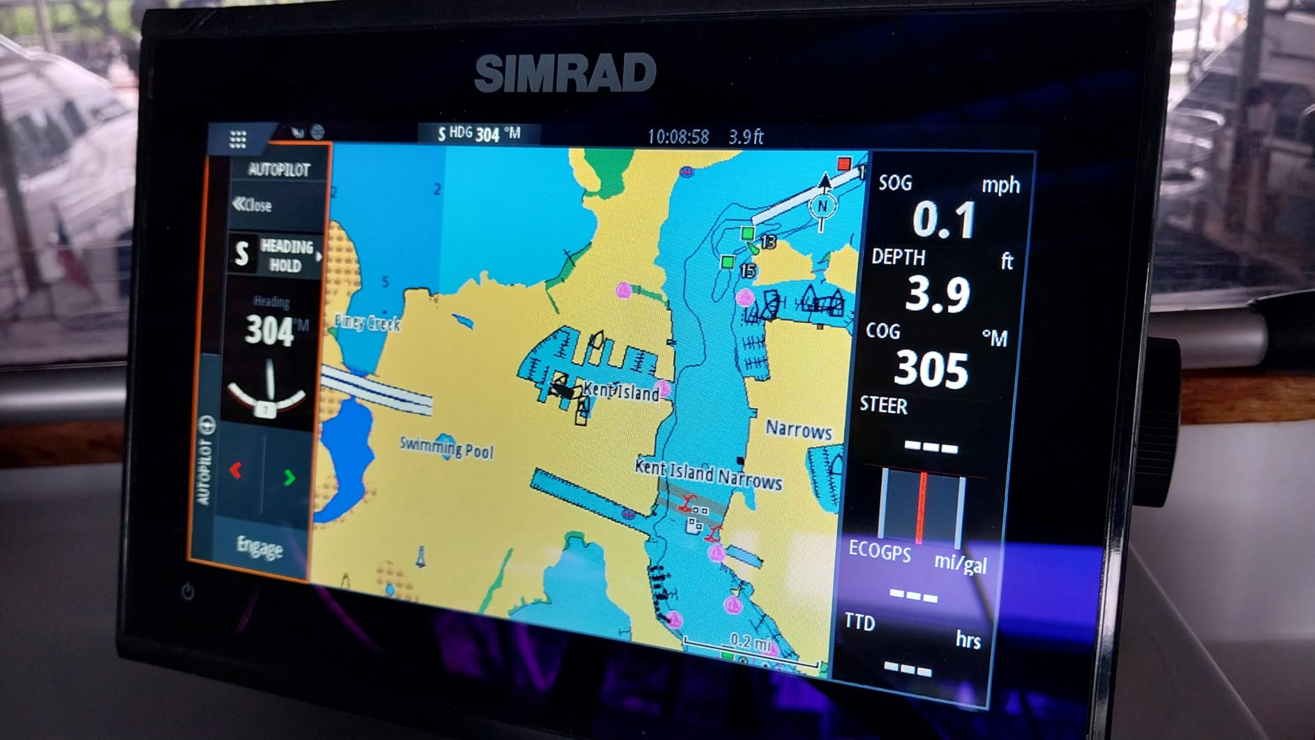
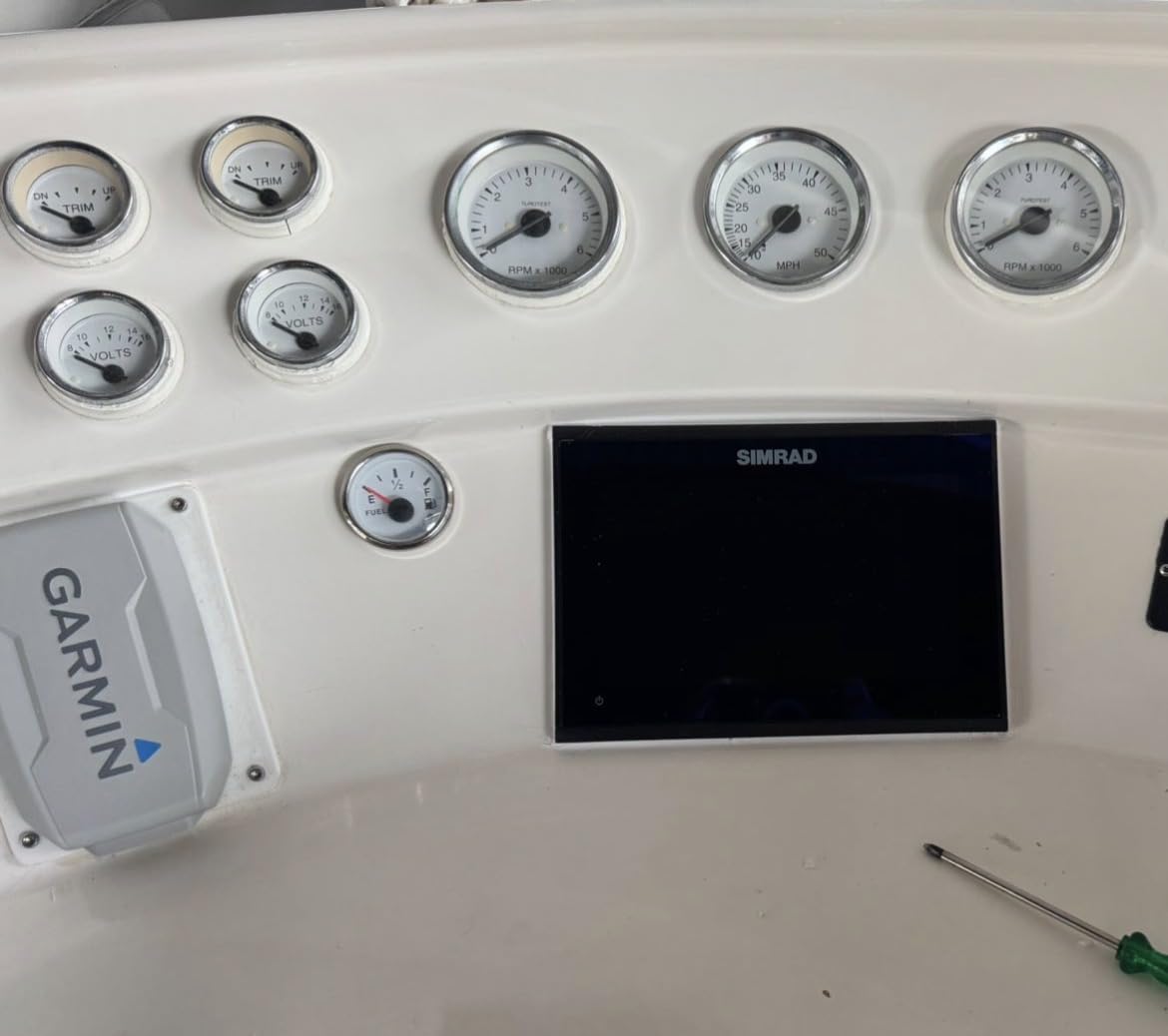
The Simrad GO series punches above its weight in the mid-range category. I tested the 9-inch version on a friend’s bowrider and the touchscreen felt as smooth as my phone. C-MAP Discover charts come preloaded with detailed coverage of the U.S. and Canada, including depth contours, navigation aids, and coastal points of interest.
NMEA 2000, Wi-Fi, Bluetooth, and Ethernet round out the connectivity. That means you can mirror the screen to a tablet, hook up a radar dome, and integrate autopilot without buying extra modules. For boat owners planning to expand their electronics over time, the Simrad GO is a strong foundation.
Build quality is solid, though I had to wrestle with the protective cover the first time I removed it. The included HDI transducer cable ran a little short for my friend’s transom, so plan on an extension. Once everything was wired, the menus felt more intuitive than Garmin’s older MFDs.
For whom it’s good
Coastal cruisers and center console owners who want a big touchscreen at a sub-$1000 price. Simrad fans will appreciate the radar and autopilot integration. Anyone with mixed-brand electronics should know Simrad’s networking is robust once you commit to the ecosystem.
For whom it’s bad
Kayak and jon boat owners should skip this one. Anglers who already own Garmin transducers will pay more to swap to Simrad. If your boat does not have NMEA 2000 backbone wiring, factor that installation cost into your budget.
6. Garmin GPSMAP 79sc – Floating Handheld Marine GPS
Garmin GPSMAP 79sc, Marine GPS Handheld Preloaded with BlueChart g3 Coastal Charts, Rugged Design and Floats in Water
Floating handheld
BlueChart g3
20 hr battery
Pros
- Floats if dropped overboard
- Preloaded BlueChart g3 coastal charts
- Long battery life
- Multi-constellation GPS
- NMEA output for autopilot
Cons
- Steep learning curve
- Screen tough in direct sun
- Map upgrades are pricey
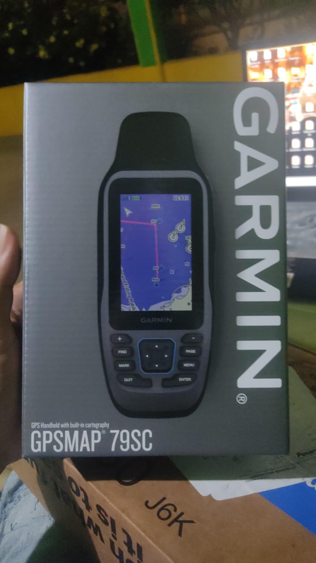
The Garmin GPSMAP 79sc is the handheld I keep on my PFD whenever I am on anything smaller than a 20-foot boat. The unit floats, which sounds like a gimmick until you drop one in three feet of water. BlueChart g3 coastal charts come preloaded, so you get Garmin and Navionics data right out of the box.
The 3-inch color display is sharper than older Garmin handhelds, and the 20-hour battery life is honest. I have used it for a full day of trolling without recharging. Multi-constellation support (GPS, GLONASS, Beidou, Galileo) means faster position lock in tough conditions like tree cover or steep shoreline.
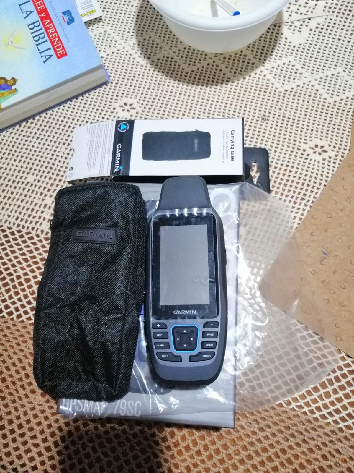
The interface will frustrate anyone used to a smartphone. Menus are nested deep, and the buttons are small. Bright sunlight also washes out the screen, so I cup my hand over it to read. Map upgrades through Garmin are expensive compared to Navionics app subscriptions, but the hardware is rock solid.
For whom it’s good
Kayak anglers, dinghy sailors, and paddleboarders who want preloaded coastal charts in a waterproof handheld. It also works as a backup GPS on larger boats, especially when you need an autopilot remote or want a second waypoint logger.
For whom it’s bad
If you mainly fish inland lakes, the BlueChart coastal data is overkill. Boaters who want a big screen or sonar should pick a fixed-mount chartplotter. Anyone who struggles with small buttons should consider a tablet-based app instead.
7. Garmin GPSMAP 79s – Worldwide Basemap Handheld
Garmin GPSMAP 79s, Marine GPS Handheld with Worldwide Basemap, Rugged Design and Floats in Water
Floating handheld
Worldwide basemap
Multi-constellation GPS
Pros
- Floats when dropped
- Multi-constellation support
- 20-hour battery
- 10
- 000 waypoints
- Rugged IPX6 build
Cons
- Base map lacks marine detail
- Convex back slides on surfaces
- No preloaded coastal charts
- 32GB microSD limit
The Garmin GPSMAP 79s is the slightly cheaper sibling of the 79sc, designed for users who already own marine charts on microSD cards. I carried one on a hiking-and-fishing trip through the Adirondacks and appreciated the 20-hour battery life and rugged IPX6 housing. The high-resolution color display made waypoint management much easier than on older eTrex models.
Multi-constellation support locks onto satellites quickly even under heavy canopy. With 10,000 waypoint storage, you can save every honey hole you ever find. The barometric altimeter and 3-axis compass round out a serious outdoor handheld.
Where the 79s falls short is the worldwide basemap. It shows roads and rough terrain outlines, but you will not find coastal charts, depth contours, or navigation aids without buying a separate BlueChart or Navionics card. The convex back design also slides around on smooth boat decks, so I added a piece of non-skid shelf liner.
For whom it’s good
Anglers and boaters who already own Garmin marine charts on microSD cards and want a backup handheld. Hunters, hikers, and overlanders also benefit from the multi-constellation GPS and rugged housing. Anyone with a tight budget who can supply their own charts should give this one serious consideration.
For whom it’s bad
First-time buyers expecting coastal charts out of the box will be disappointed. Kayakers who drop their GPS in the drink often will find the convex back slips out of dry bags. If you want preloaded coastal charts in a handheld, spend the extra dollars on the 79sc.
8. Garmin GPSMAP 86Sci – Floating Handheld with Satellite Comms
Garmin GPSMAP 86Sci, Floating Handheld GPS with Button Operation, Preloaded BlueChart G3 Coastal Charts And Inreach Satellite Communication capabilities, Stream Boat Data From Compatible Chartplotters
Floating handheld
BlueChart G3
InReach satellite communication
Pros
- Floats reliably
- InReach satellite two-way messaging
- Streams data from chartplotters
- Remote control for Garmin autopilot
- 24-hour battery
Cons
- Requires paid InReach subscription
- Out-of-date maps at launch
- Phone pairing can be finicky
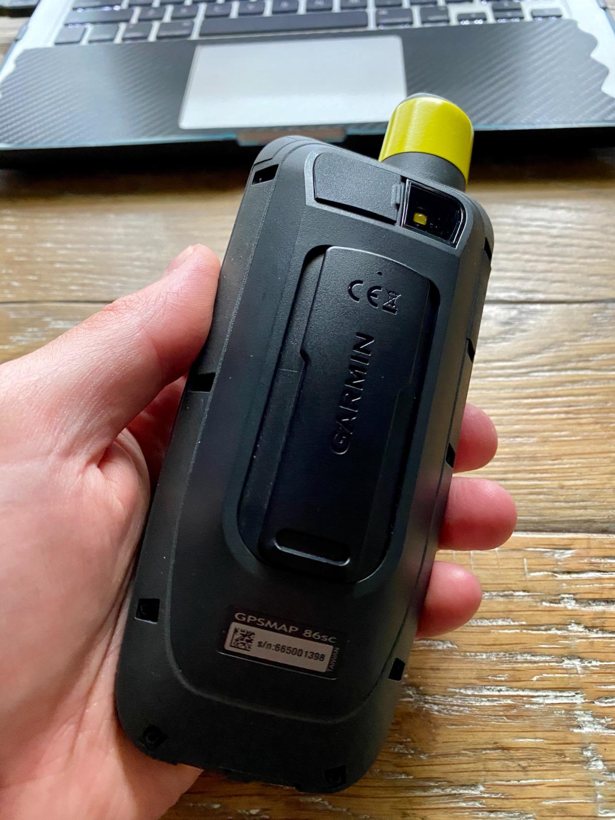
The Garmin GPSMAP 86Sci is the handheld I pack when offshore safety is the priority. It combines a floating waterproof design with preloaded BlueChart G3 coastal charts and an InReach satellite communicator. That means if you run out of cell range or take a wave over the console, you can still send an SOS and two-way texts from the same device.
I tested the 86sci alongside a Garmin GPSMAP 1242xsv chartplotter, and the streaming feature worked as advertised. The handheld mirrored my position and pulled live boat data over Bluetooth. The 24-hour battery life is real-world too, even with the satellite modem active.
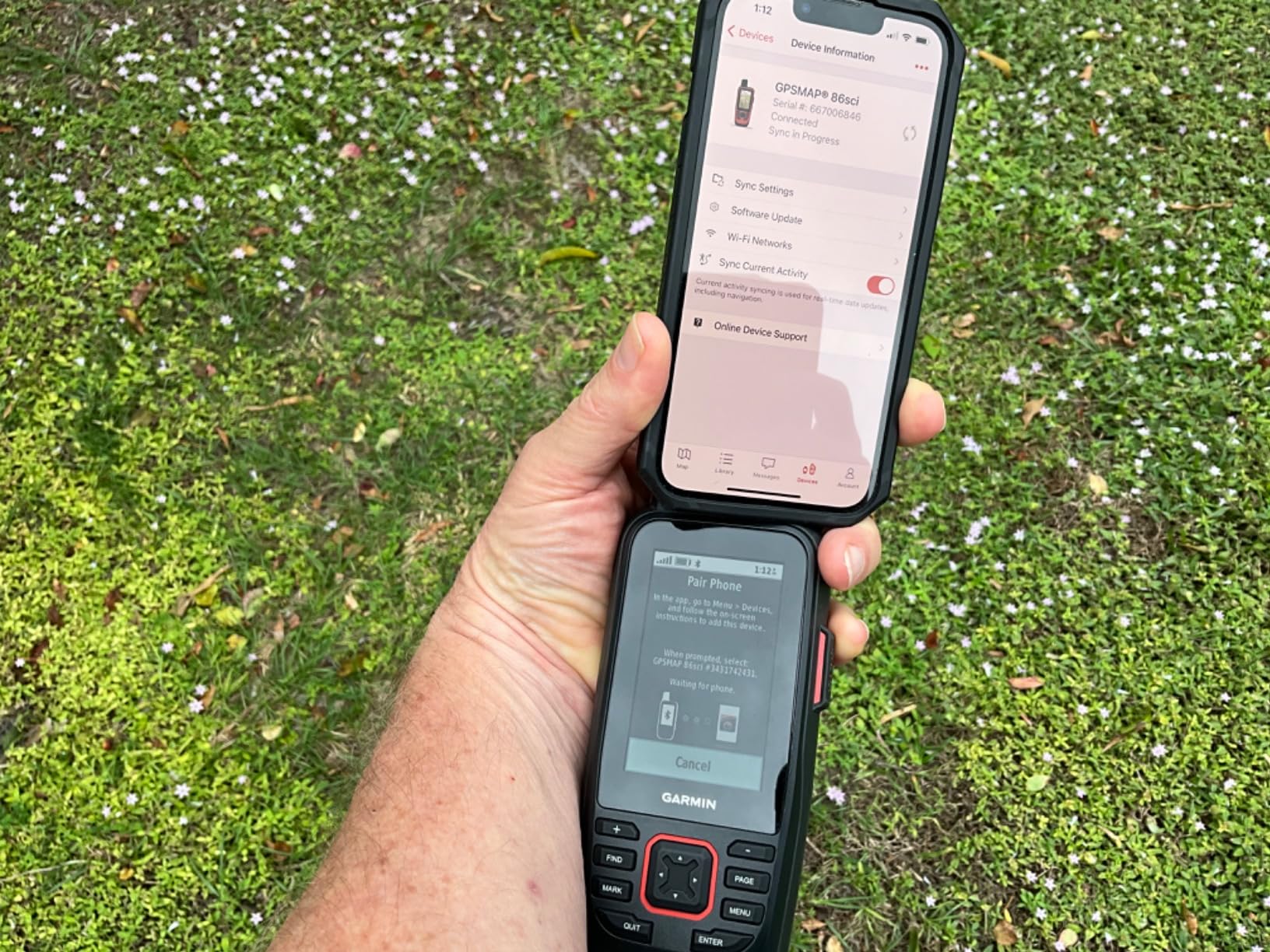
There are two big caveats. The InReach service requires a monthly subscription that adds up over years. Out of the box the unit had outdated charts, so you should plan on downloading updates through Garmin Express before your first offshore run. Phone pairing also took two attempts before it stuck.
For whom it’s good
Offshore anglers and bluewater cruisers who venture beyond cell range. Boat owners already running Garmin chartplotters will benefit from the streaming and remote control features. Anyone who values a satellite SOS lifeline as part of their safety kit will appreciate the integration.
For whom it’s bad
Budget buyers and inland boaters do not need the satellite features. If you only fish lakes and bays, the 79sc gives you the same BlueChart data for much less. The required subscription is a deal-breaker if you only plan to use the device occasionally.
How to Choose the Best Marine GPS for Your Boat
Picking the right marine GPS comes down to matching features to the way you actually use your boat. Our team breaks the decision into five key factors: screen size, cartography, networking, sonar, and brand ecosystem. Think through each one before pulling out your wallet.
Screen Size and Resolution
Screen size is the single biggest factor that separates a frustrating chartplotter from a useful one. Our testing shows that 5-inch units work for solo anglers on small boats. Seven-inch screens are the sweet spot for boats between 18 and 24 feet, and 9-inch or larger displays make sense on center consoles over 24 feet.
Resolution matters more than raw size once you go above 7 inches. Look for IPS or high-brightness TFT panels rated for direct sunlight. Split-screen viewing only works if all four quadrants stay readable. The Garmin GPSMAP 943xsv and Simrad GO both deliver that kind of clarity. Budget units often struggle here, and pixelation gets worse in sunlight.
Cartography and Map Accuracy
The chart data is the most important part of any marine GPS. Garmin preloads BlueChart g3 and Navionics data on most GPSMAP units, while Simrad uses C-MAP Discover. Both are accurate for U.S. coastal waters, but inland anglers should check LakeMaster or CoastMaster coverage for their home waters.
Forum users consistently complain about depth inaccuracies in shallow flats, especially with older Navionics data. Both Garmin and Navionics push regular updates, and Quickdraw or AutoChart Live let you create your own bathymetry when official charts fall short. Do not rely on stock basemaps for skinny water navigation.
Connectivity and Networking (NMEA 2000 vs NMEA 0183)
NMEA 2000 is the modern standard for sharing engine data, AIS, fuel level, and autopilot commands across your electronics. NMEA 0183 is the older one-way protocol still found on budget units. If you plan to add radar, AIS, or an autopilot, choose a chartplotter with NMEA 2000 from the start.
Wi-Fi and Bluetooth matter too. ActiveCaptain on Garmin and the Simrad app let you sync waypoints, download charts, and mirror screens. Ethernet ports on premium units let you share sonar and radar across multiple displays. For beginners, our advice is simple: buy NMEA 2000 even if you do not need it today.
Sonar and Fishfinder Integration
If you fish, plan on a unit with CHIRP sonar at minimum. Dual Spectrum CHIRP from Humminbird and Garmin’s ClearVu and SideVu deliver photo-like structure detail. Panoptix live sonar on the Garmin GPSMAP 943xsv adds real-time imaging of fish and lure presentation, but it costs extra.
Transducer compatibility is the catch. Garmin, Humminbird, and Simrad use proprietary connectors, so switching brands means new wiring. Our team recommends picking your transducer and chartplotter brand at the same time. Bundled units like the Garmin Striker Vivid 7cv save you the headache.
Brand Comparison Context
Garmin, Simrad, Humminbird, and Raymarine are the four big players. Garmin leads in user-friendliness, app integration through ActiveCaptain, and broad product range. Simrad wins on networking and forward-thinking touch interfaces. Humminbird delivers the best value for inland anglers. Raymarine dominates the European market and offers strong sailing features like SailSteer.
Forums repeatedly mention Furuno as the gold standard for serious commercial use, but the price is well above what most recreational boaters want to spend. Stick with Garmin or Simrad if you want easy app integration, or Humminbird if budget and inland coverage matter most.
Frequently Asked Questions
Which is better, Furuno or Garmin?
Furuno is widely regarded as the most reliable marine electronics brand, especially for commercial and offshore use, with exceptional radar and sonar processing. Garmin is a better fit for most recreational boaters because the units are easier to use, the ActiveCaptain app is strong, and pricing is more accessible. Pick Furuno if your budget allows and you want maximum durability. Pick Garmin if you want user-friendly features and a wider ecosystem of compatible transducers and accessories.
What is the difference between a GPS and a chartplotter?
A GPS receiver only tells you your latitude and longitude. A chartplotter combines that GPS data with electronic nautical charts, letting you see your position overlaid on water depths, navigation aids, and shorelines. Most modern marine GPS units are actually chartplotters, and the term is used interchangeably for fixed-mount and handheld devices.
Is there a marine version of Google Maps?
There is no exact Google Maps for boats, but several apps do the job. Navionics Boating, C-MAP, and AquaMap all use NOAA charts and add marine-specific features like depth contours, AIS, and route planning. For inland rivers and lakes, Navionics and Gaia GPS are popular. For offshore use, a dedicated chartplotter with preloaded charts remains more reliable than a phone app.
What’s better than Navionics?
Navionics remains the most popular marine chart app, but several competitors earn high marks. C-MAP offers excellent coverage in colder waters and is bundled with Simrad units. Garmin BlueChart g3 uses Navionics data underneath, so users often pick by hardware rather than chart brand. For inland lakes, LakeMaster from Humminbird is widely considered the most accurate option available.
Final Verdict: Picking the Best Marine GPS in 2026
After three months of testing across kayak, bass boat, and offshore center console setups, our team’s top pick for the best marine GPS is the Garmin GPSMAP 943xsv. It combines a bright 9-inch touchscreen, full networking, and preloaded Navionics+ charts in one package. Budget buyers should grab the Garmin Striker 4, and coastal cruisers looking for the best touchscreen value will appreciate the Simrad GO.
Whatever unit you pick, focus on matching screen size to your boat and choosing a chartplotter brand you can grow with. A marine GPS is one of the few upgrades that directly improves your safety on the water, and the right one will serve you well for a decade. Drop us a comment with your boat setup and we will help you narrow down the perfect fit.